
The Municipality of Penteli represents the center of efforts of the EIFFEL H2020 Project’s Pilot on Urban Sustainability. All Earth Observation Platforms are deployed in full throttle, socio-economic data are sought, retrieved at the best available level of detail, and integrated with the Earth Observation data found in the GEOSS Portal to serve four distinct climate applications.
The Municipality sits under the Penteli Mountain to which it lends its name. Seventeen kilometers from the center of Athens, it holds a population of more than thirty-five thousand people while demonstrating a unique mix of cultural and natural heritage as well as built-up area. Thus, it provides an ideal ground for the testing of the four EIFFEL applications which will then be scaled up to the Region of Attica.
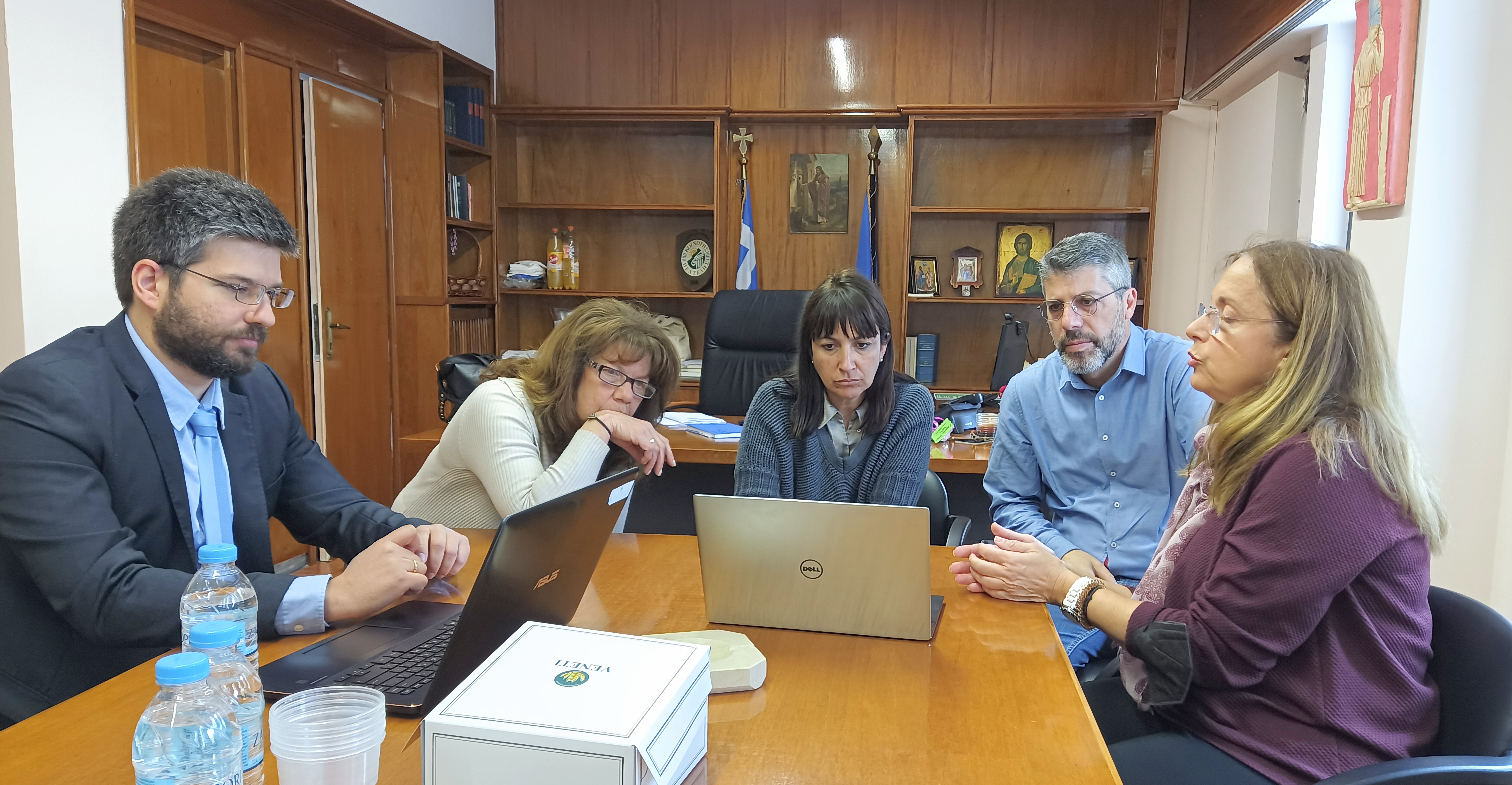
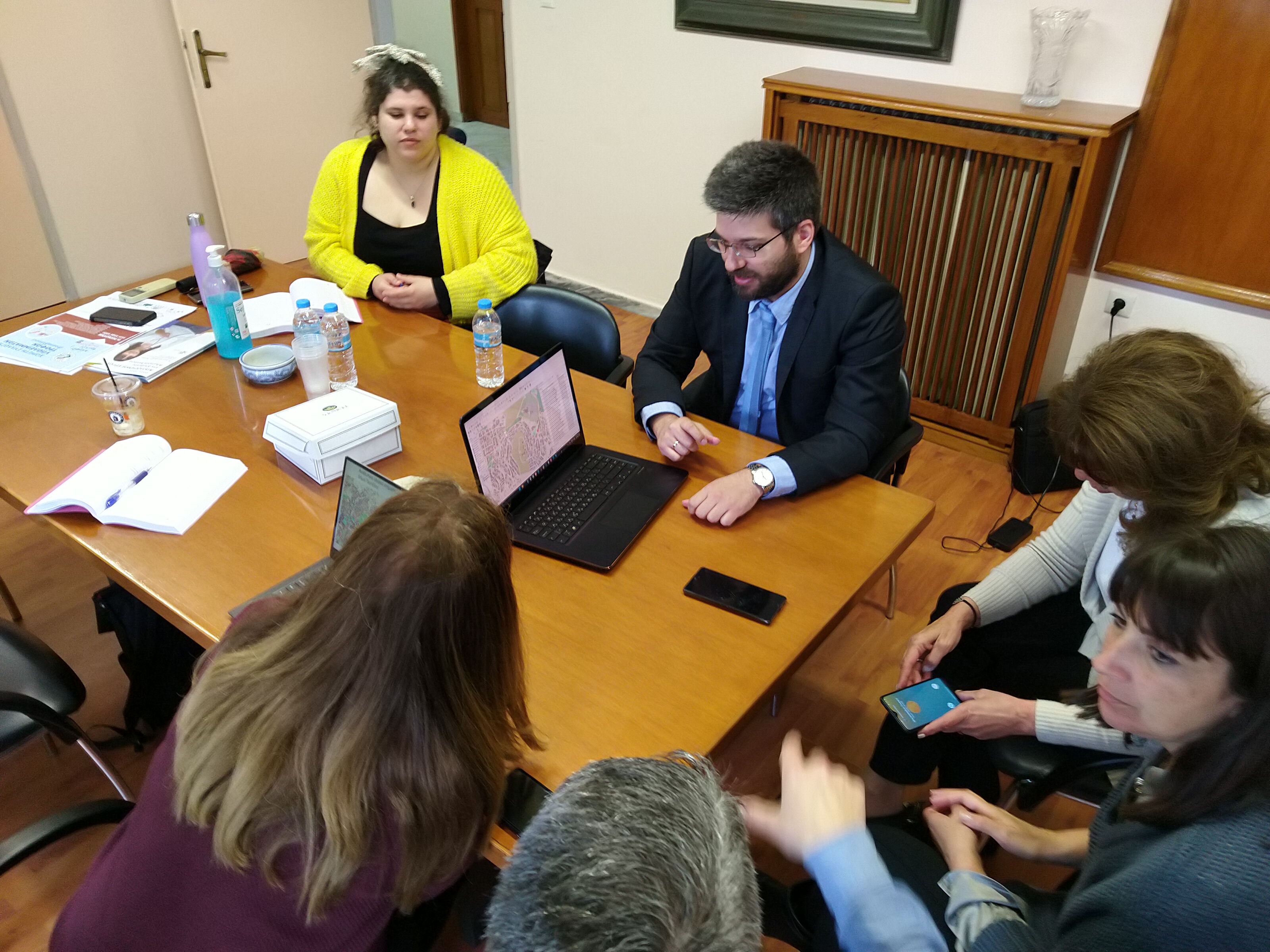
The Municipality has already embarked on its Climate journey rallying behind the Smart City and Climate Neutral banners. Following liaison between the National Observatory of Athens and the Municipality, a technical meeting was arranged on May 5th 2023 between the Mayor, vice-Mayor for Environment and Urban Planning, and the Observatory’s teams that are responsible for the EIFFEL applications.
The buildings’ energy efficiency application showcased the integration between data from national statistics and Copernicus to enhance current building stock models and to allow scenarios analysis such as renovation and thermal insulation in sync with the Municipality’s Sustainable Energy and Climate Action Plan. The discussion on the photovoltaic potential of rooftops revolved around recent and very pragmatic subsidies on behalf of the Greek State and the need to inform the citizens in a scientifically coherent manner with practical examples in a potential seminar co-organized by the Municipality and the Observatory. The third application, entailing modeling of mitigation of Green House Gases from road transport through the gradual introduction of electric vehicles, followed the same iterative pattern where the Municipality provides data and scenarios based on the Sustainable Urban Mobility Plan and the Observatory refines and aligns its application according to the Plan. Lastly, the so called health argument for climate action was considered through the fourth application of chemical transfer modeling at the intra-urban level, where the co-benefits of mitigation actions brought by the other applications are quantified and presented to raise understanding and willingness for action.
Short-term actions were decided upon such as the inclusion of the Municipality in the relevant Community of Practice of EIFFEL, further iterations regarding data exchange and co-design of mitigation scenarios, the involvement of the National Observatory in the Sustainable Energy and Climate Action Plan, the introduction of the Municipality to larger city-networks through the Observatory, and, lastly, the co-organization of a public awareness webinar in the near future.